Arizona is home to captivating desert vistas, and considering its dry climate, people envision a rock here, a gorge there, one or two cacti, and that’s it! But that’s a misconception, and with the third highest biodiversity in the US, there are plenty of places for hiking in Arizona.
Whether you're a seasoned hiker tackling steep inclines or a beginner looking for an easy trail, there's something for everyone to explore. This comprehensive guide details some of the best hiking trails in Arizona. So, read on, select an ideal place, pack your bags, and have a memorable and safe hiking experience. Without further ado, let’s dig in!
Best 10 Hiking Trails in Arizona
Arizona’s diverse landscapes make it a great place to explore on foot. Whether through the unique formations of Coconino National Forest, the depths of the Grand Canyon, or the stunning red rocks of Sedona, go where your travels take you. Here are the ten best hiking trails in Arizona:
Devil’s Bridge Trail
Place Name: Coconino National Forest near Sedona, Arizona
Address: Arizona 86336, USA
Length: 4.6 miles
Difficulty: Moderate
Best For: Breathtaking views, photography, hiking
Devil’s Bridge Trail pairs breathtaking and heavenly views with hiking through rugged desert landscapes to become one of the most popular trails for hiking in Sedona, Arizona. You’ll find the initial trail pretty effortless, but the path slowly inclines uphill. For the best view, climb up the steep, natural staircase to reach the Devil’s Bridge, Sedona's largest natural sandstone arch. Overall, it suits casual hikers and more adventurous outdoors enthusiasts.

Cathedral Rock Trail
Place Name: Coconino National Forest, about 38 miles south of Flagstaff
Address: Sedona, AZ 86336, USA
Length: 1.2 miles
Difficulty: Moderate
Best For: Panoramic views of the red rocks, blooming wildflowers, vortex
Cathedral Rock is another popular hiking trail in Arizona that offers incredible views from the top. Although short, the trek is challenging for several reasons: it has a high elevation gain, no shade, and some sections require you to crawl on your hands and knees up a red rock. However, the incredible and diverse views in the surrounding areas make the struggle worth it!

Bright Angel Trail
Place Name: Grand Canyon National Park
Address: 3VVQ+3F Grand Canyon Village, Arizona, USA
Length: 9.5 miles
Difficulty: Hard
Best For: Shade, breathtaking views, steep hike
If you crave the thrills of thru-hiking, Bright Angel Trail in Grand Canyon is worth putting on your bucket list. It involves around 9.5 miles of elevation change, steep switchbacks, and temperature swings. Irrespective, you’ll find the breathtaking views of colorful canyons standing tall and one of the best aerial viewpoints of the emerald green Colorado River that cuts the Grand Canyon.

Boynton Canyon Trail
Place Name: Coconino National Forest
Address: W542+XJ Sedona, Arizona, USA
Length: 6.5 miles
Difficulty: Moderate
Best For: Picturesque views, wildlife, and wildflowers
If you prefer a moderate hike with cave views, then the Boynton Canyon trail is probably perfect. This hiking trail in Arizona is known for its powerful vortexes, the points of energy that claim to have healing powers. The last part of the trail is the steepest but is easily hikable. On top of that, the views are stellar, and it is one of the best picture spots. Also, the trail is dog-friendly, and you’ll see many wildlife on the way.
The Wave Trail
Place Name: Paria Canyon-Vermilion Cliffs Wilderness of the Colorado Plateau
Address: 745 US-89, Kanab, UT 84741, USA
Length: 6.5 miles
Difficulty: Moderate
Best For: Exploring, photography, hiking
The wave is an exquisite red sandstone formation that resembles a water wave. Hiking the wave in Arizona isn’t the most challenging, with a series of small ups and downs and no big climbs. The heat, however, can get a bit unbearable sometimes. Besides, you’ll need a special permit to hike in the wave, which is obtainable by applying four months in advance for the general lottery or entering the daily lottery, held two days in advance.

Echo Canyon Trail
Place Name: Echo Canyon Recreation Area
Address: E McDonald Dr, Phoenix, AZ 85018, United States
Length: 2.4 miles
Difficulty: Hard
Best For: Photography, wildlife
Echo Canyon Trail is one of the two trails on Camelback Mountain that leads you right to the top of the summit, the tallest peak in the Phoenix area. Despite the short distance, it’s an expert-level hike, and isn’t recommended for inexperienced or casual hikers. At the crown, the views to the south open up, where you see Phoenix and beyond, and you can snap selfies and take nature photos.
Lava Flow Trail
Place Name: Sunset Crater Volcano National Monument
Address: Loop Rd, Flagstaff, AZ 86004, USA
Length: 1.2 miles
Difficulty: Light to moderate
Best For: Hiking through a terrain formed by lava, birdwatching
If you’re a first-time hiker, keep the Lava Flow Trail on your hiking list. It's a relatively light to moderate difficulty hike in a dramatic terrain formed by a volcanic eruption. This Arizona hike offers a sweeping view of Vekol Valley and Sand Tank mountains to the west while a flat-topped Table Top mountain looms in the east.

Rim Trail
Place Name: South Rim of the Grand Canyon National Park
Address: Grand Canyon Village, AZ 86023, USA
Length: 13 miles
Difficulty: Moderate
Best For: Multiple viewpoints, dog-friendly, short walks
The Rim trail stretches 13 miles across the Grand Canyon, with multiple viewpoints throughout the course. So you can hike all of it or a part of it. A few popular ones include Hermits Rest, a stone building and a National Historic Landmark; Pima Point, which offers views of Monument and Hermit Creek drainages, and Mojave Point, with magnificent views of the Colorado River, Tonto trail, and others. So, take your furry friend alongside and enjoy the best views of the Grand Canyon.

Piestewa Peak Summit Trail
Place Name: Piestewa Peak Recreation Area
Address: 5594 Piestewa Peak Dr, Phoenix, AZ 85016, United States
Length: 2.4 miles
Difficulty: Moderate
Best For: Sunset hike, dogs, panoramic views of Phoenix
This 2.4-mile Piestewa Peak Summit Trail leads you to the second-highest peak in Phoenix. As it’s located in the heart of Arizona city, it’s pretty accessible for locals and tourists alike. You hike through a series of steps carved out of the mountain and the ones made naturally from the rocks to complete an intense workout session. Not to mention, the reward of completing this moderately challenging hike is an overwhelmingly tranquil view.

Doe Mountain Trail
Place Name: Coconino National Forest
Address: Doe Mountain, Sedona, AZ 86336, United States
Length: 1.5 miles
Difficulty: Moderate
Best For: Easy and short hikes, breathtaking views
Doe Mountain trail is an underrated hiking place in Arizona with manageable distance and breathtaking views. It’s a fantastic choice to hike for beginners who wish to experience stunning vistas, those looking for a day of hiking trips, or when popular trails are overcrowded. If you hike at sunrise, you can sit on the edge of Doe Mountain and watch numerous hot balloons rising. You can also ride one if you wish to!
What to Wear Hiking in Arizona
When hiking in Arizona, you must wear breathable, lightweight, and moisture-wicking clothing. Also, it’s crucial to protect yourself from the sun with a hat, sunglasses, and sunscreen. Here are a few tips for what to wear:
- Wear lightweight, well-fitting, and durable hiking boots. In the desert, these are designed to be breathable and keep your feet dry.
- Wear breathable and loose clothes, which you can remove if needed. It lets you adjust to the weather and activity level.
- Wear a hat that provides 360-degree protection from the sun.
- Wool is a good choice when hiking in high temperatures, so wear a woolen sock.
- Carry a waterproof jacket or poncho to protect yourself when hiking in the rain.
- Avoid wearing cotton or denim shorts, as it gets uncomfortable when wet. Also, wearing these puts you at risk of scrapes from rocks and cacti.
What to Wear Hiking in Arizona in January
If you’re hiking in Arizona during winter or January, here’s what to wear:
- Hiking boots/walking shoes to ensure comfortable hiking.
- Downcoat to keep your body warm.
- Thick and tight zip-up to keep your body warm in the chilling winter.
- Hat, gloves, and full-sleeve clothing.
- Moisturizer to prevent your skin from getting dry
Hiking Trails in Arizona with Waterfalls
Hiking in Arizona's dusty and dramatic terrains in scorching heat can be tough. And it might be surprising that Arizona boasts immense biodiversity and underrepresented waterways. So here are the best hiking trails in Arizona with waterfalls:
Havasu Falls: The gorgeous Havasu Falls, located in the Grand Canyon, has earned its place on the bucket list for various reasons: stunning scenery, geothermal heating, and good to hike. But you must secure a permit from the Havasupai Tribe to hike.
Seven Falls Trail: This trail takes you through seven waterfalls in the Sabino Canyon Recreation Area, around 15 minutes northeast of downtown Tucson. To reach these falls, start from the parking lot and walk through an 8.6-mile trail involving several creek crossings.
Grand Falls: Grand Falls is an underrated location just 30 miles east of Flagstaff and is often overlooked even by locals. The flow goes from a trickle in summer to a raging torrent during monsoon. And it’s known to make rainbows created by spray and impact of the falls.
Hiking Checklist and Items
It’s a good habit to carry the essentials, whether hiking or going on a week-long vacation. Even if you use a handful, you’ll realize the importance of hiking essentials during an emergency. Pack the following:
Clothing: Breathable, loose, quick-drying clothing made of wool, polyester, and nylon.
Footwear: Hiking boots to protect your ankles and feet.
Shelter: Bivy Sack, Emergency blanket, Ultralight Tarp
Navigation: Compass, Paper & Digital map, Altimeter Watch, GPS devices
Sun Protection: Sunglasses, Suncream
Repair Kit: Repair Patches, Knife, Duct tape, Safety pins
Light: Headlamp/Flashlight
First Aid: Sticky bandages, Blister treatments, Gauze pads, Adhesive tape, Disinfectant ointment, Over-the-counter pain medicine, Gloves
Food & Water: Packaged food, Bottled water
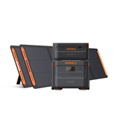
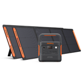
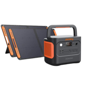
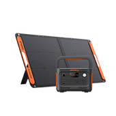
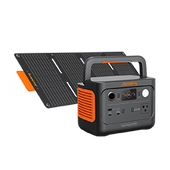
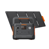
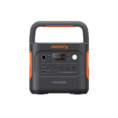
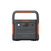
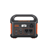
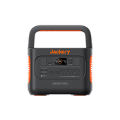
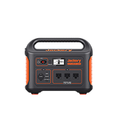
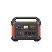
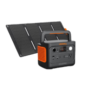
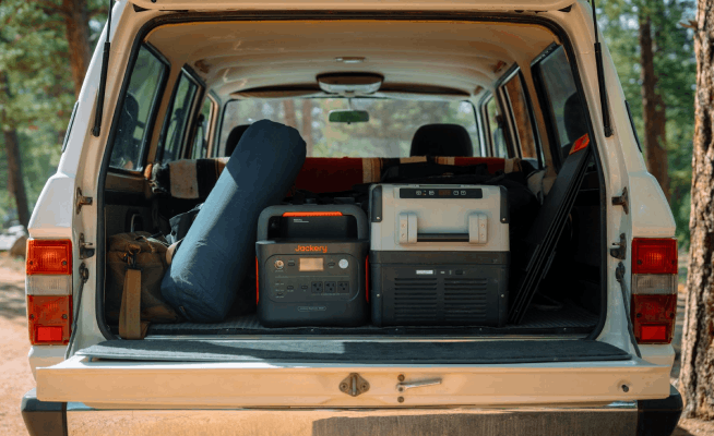
Power: Jackery Solar Generators 300 Plus, Jackery Explorer 100 Plus Portable Power Station
Jackery Portable Power Supply for Hiking
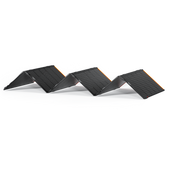
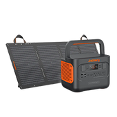
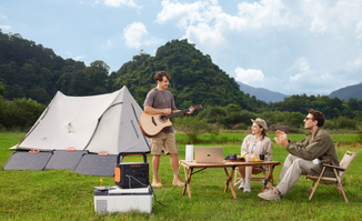
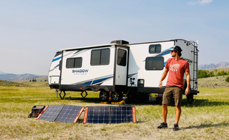
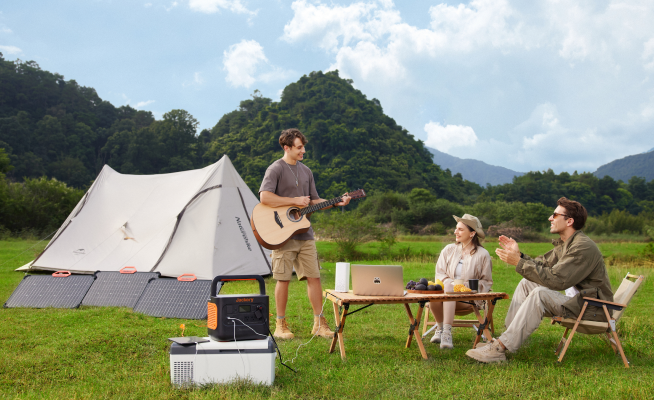
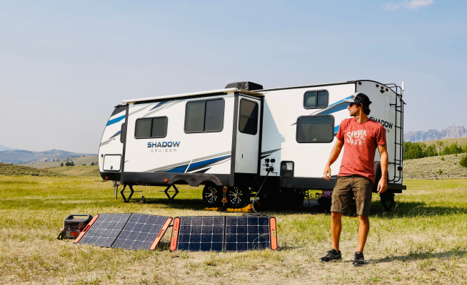
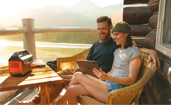
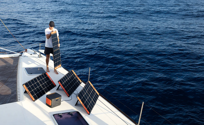
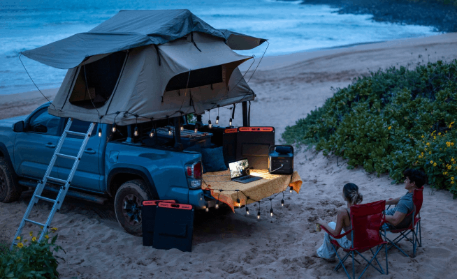
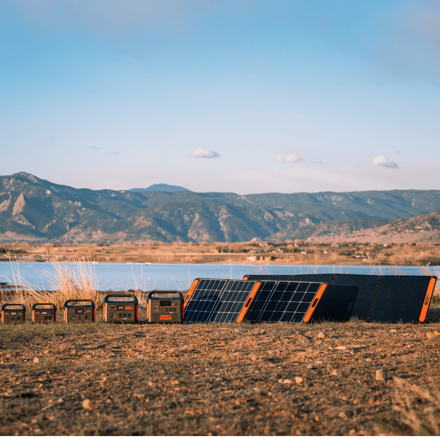
With solar generators, you can enjoy the peacefulness of your surroundings while still staying connected. If you need a reliable camping generator to power your essentials, Jackery Solar Generator is the ultimate selection. It comprises foldable solar panels and portable power stations to harness the potential of solar power. What keeps it apart from others is its portability, reliability, safety, and its ability to function in harsh weather conditions.
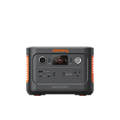
Jackery Solar Generator 300 Plus
Jackery Solar Generator 300 Plus is a remarkable and compact solution that is ideal for individuals seeking hiking options. It’s a reliable power source for portable devices, whether in the wilderness, hiking through rugged terrains, or camping in Arizona. Besides, its 40W iPad-sized solar panels ease into your backpack, so you can power the battery backup whenever needed.

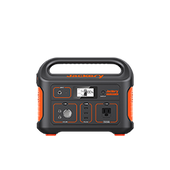
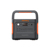
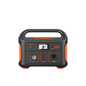
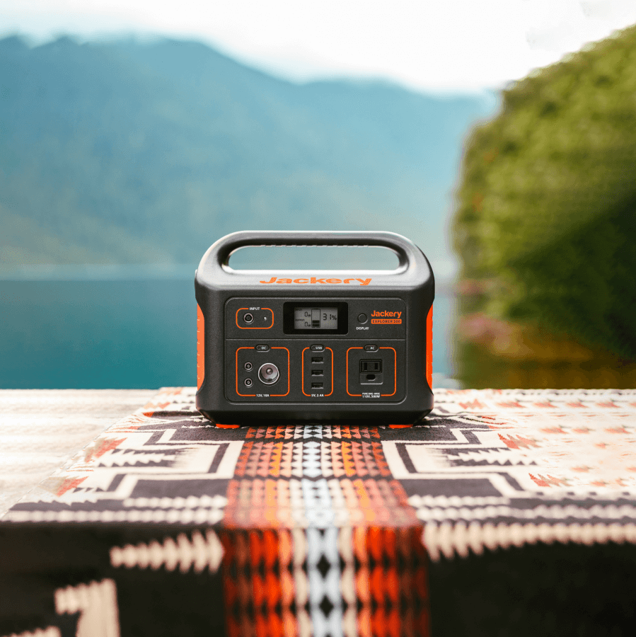
Jackery Explorer 100 Plus Portable Power Station
If you need a further compact battery backup solution, the Jackery Explorer 100 Plus Portable Power Station is the smallest available. It can power essentials like drones, cameras, smartphones, etc., for backup. It’s equally functional during summer and winter, so you don’t need to worry about going out of power while hiking in Arizona.

|
Product |
Capacity |
Output |
Appliances |
|
Jackery Solar Generator 300 Plus |
288Wh |
Rated Watts: 300W Surge Watts: 600W |
Light (5W): 49H GPS (50W):4.9H Phone (30W): 8.2H Headphone (5W): 49H CPAP machine (100W): 2.4H Drone (60W): 4.1H |
|
Jackery Explorer 100 Plus Portable Power Station |
99.2Wh |
Rated Watts: 128W |
Drone (60W): 1.4H Light (5W): 17H Phone (30W): 2.8H GPS (50W): 1.7H |
FAQs
Which hiking trail takes you to the largest natural sandstone arch in Arizona?
The Devil’s Bridge Trail in Sedona, Arizona, leads you to the largest naturally-formed sandstone arch in the area. The trail isn’t the toughest and requires you to walk around 4.6 miles to reach the sandstone arch.
Where is the best hiking in Arizona?
Arizona has multiple hiking places, including national parks, state parks, and other top trails. In terms of views, Devil’s Bridge Trail and Bright Angel Trail stand out amongst others.
Conclusion
There’s a lot to explore and appreciate about Arizona’s sublime scenery. But irrespective of whether you’re on a simple or a difficult trail, you must carry the essentials. It includes the proper clothing, footwear, first-aid kit, food and water, navigation, repair, etc. A reliable battery backup solution like Jackery Solar Generators is also essential for hiking in Arizona. It’s compact, portable, and efficient enough to power your essential electricals for hours and keep you safe!












































Leave a comment